
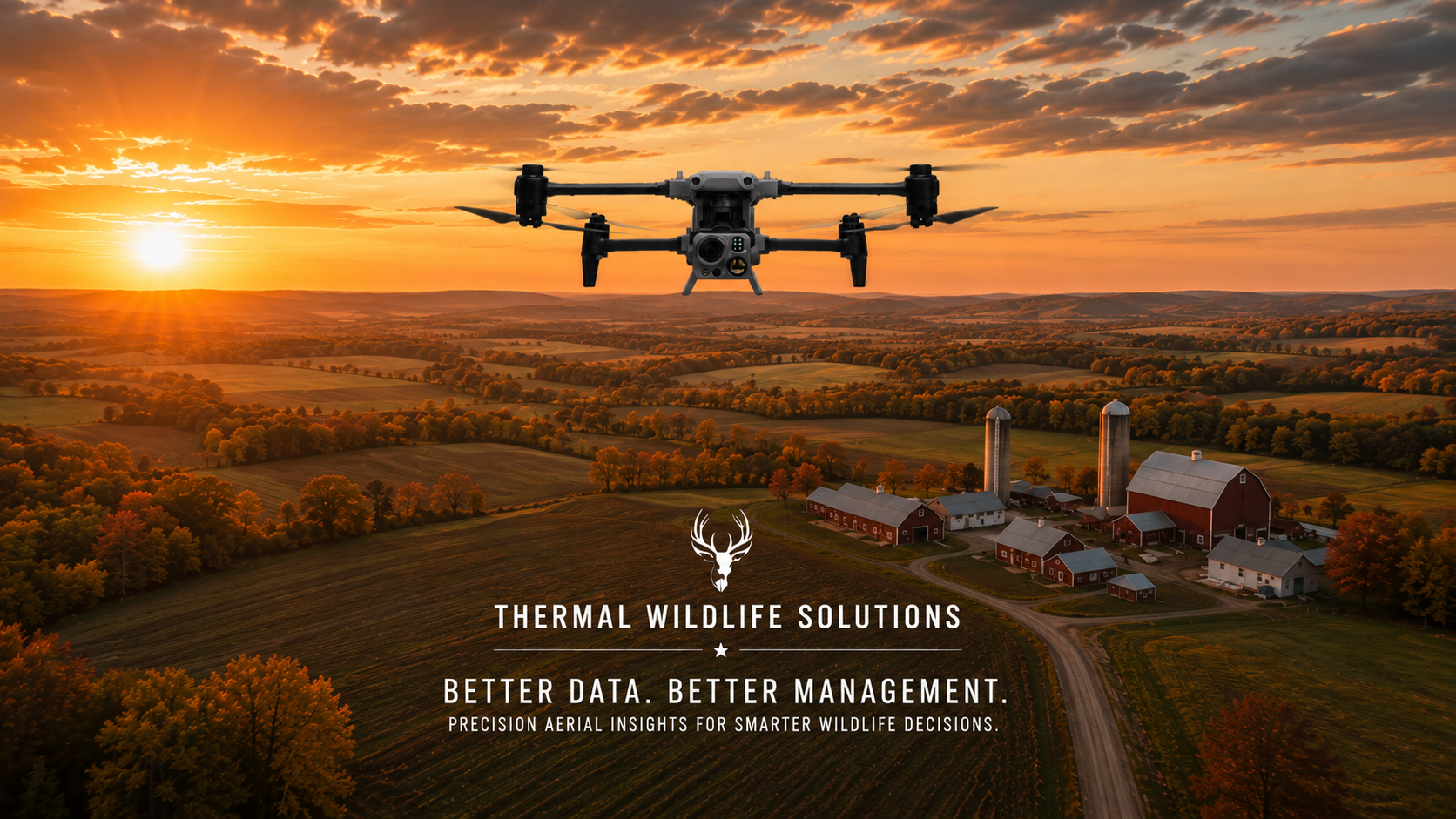
What We Do
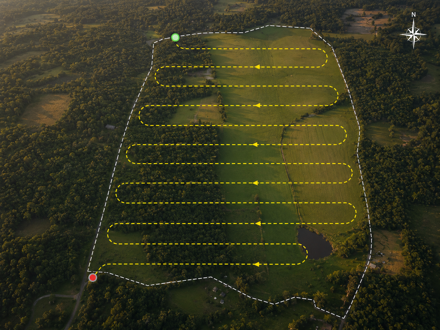
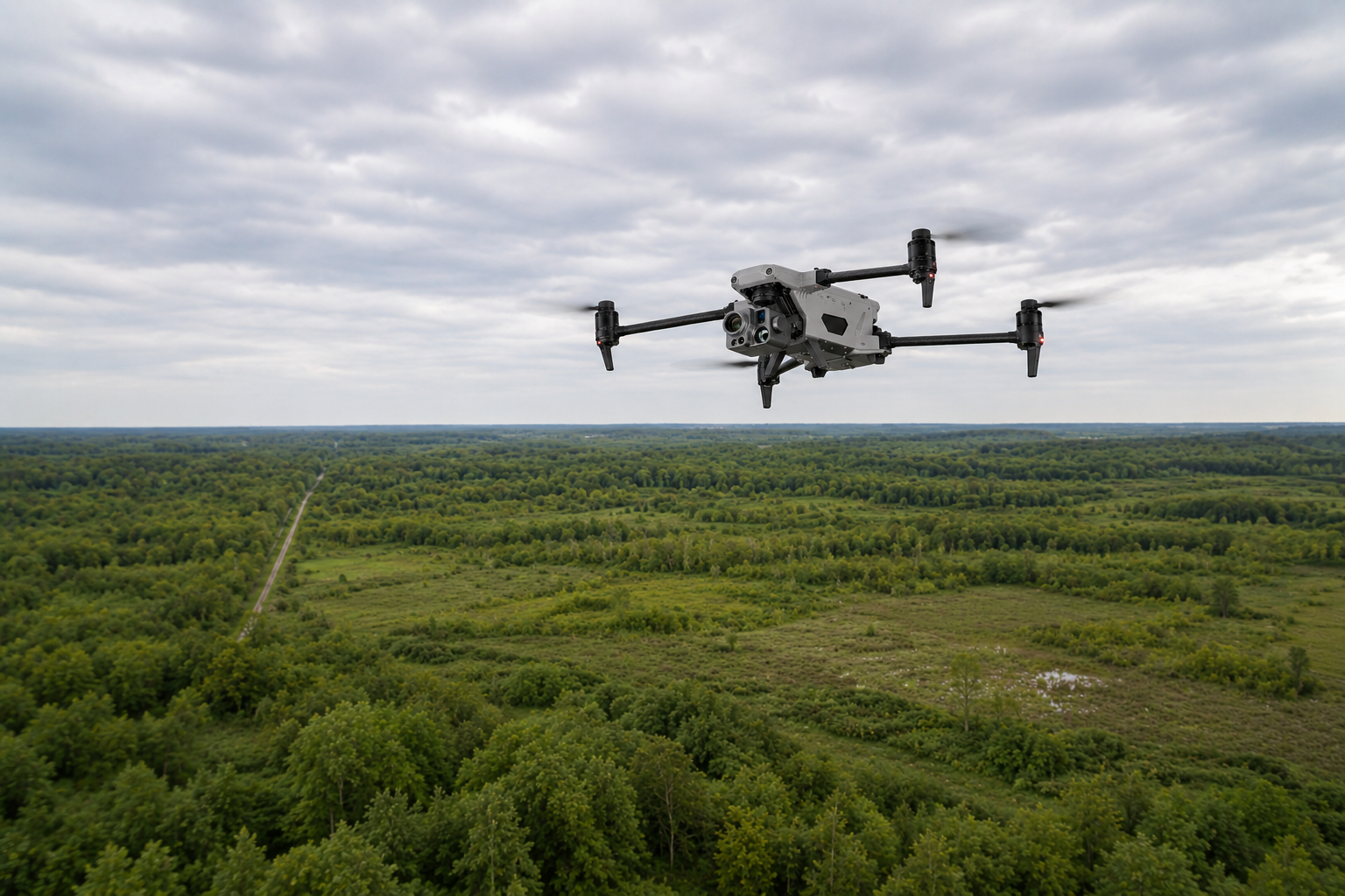
We use thermal drones to survey deer and big game on private land. In a single flight, we document how many animals are out there, the buck-to-doe ratio, the age makeup of the herd, and other possible things like where the deer are bedding or feeding — then deliver it in a clear, GPS-mapped report. Landowners use that information to plan a harvest, guide habitat work, or just finally know what's on their ground.
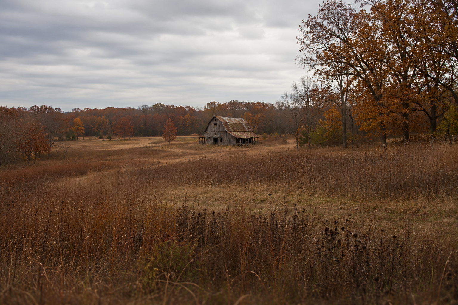
We're woodsmen first: the drone is only a tool, and it answers to real knowledge of the land.
Baseline Survey
A single survey. The whole picture of what's on your land.
Annual Stewardship Program
Two to four surveys a year. The story trail cameras can't tell.
Pre-Purchase Land Inspection
Know what's on the land before you sign.
Agency Contracting
Large tract surveying built to State and Federal Standards
Herd Enhancement Program for Land Investors
A multi-year program to see your land improvements take hold.
Grow the herd - and the property’s value through real documentation.
Lost Pet/Livestock
Thermal search when an animal goes missing
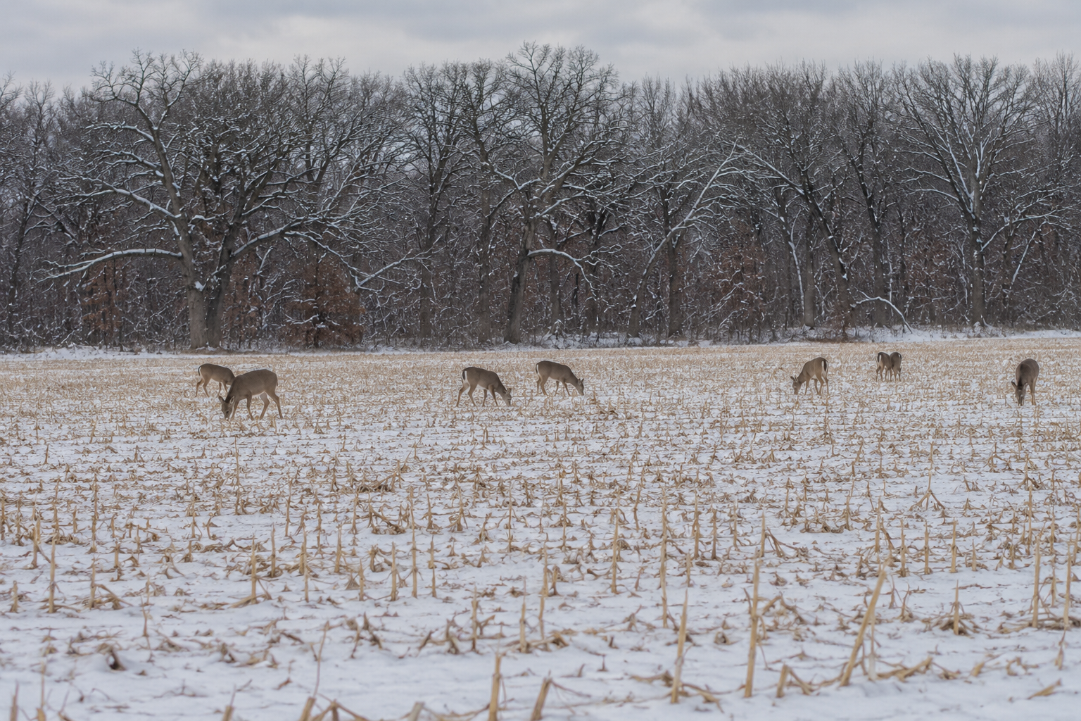
90-95% detection
of wildlife found per survey - versus 20-40% with traditional ground counts
560x hybrid zoom
State of the art equipment armed with dual thermal cameras. Helps confirm ID, even in heavy cover
Safety - forward
No aircrew at risk, no charter cost - safer and cheaper than aircraft surveys
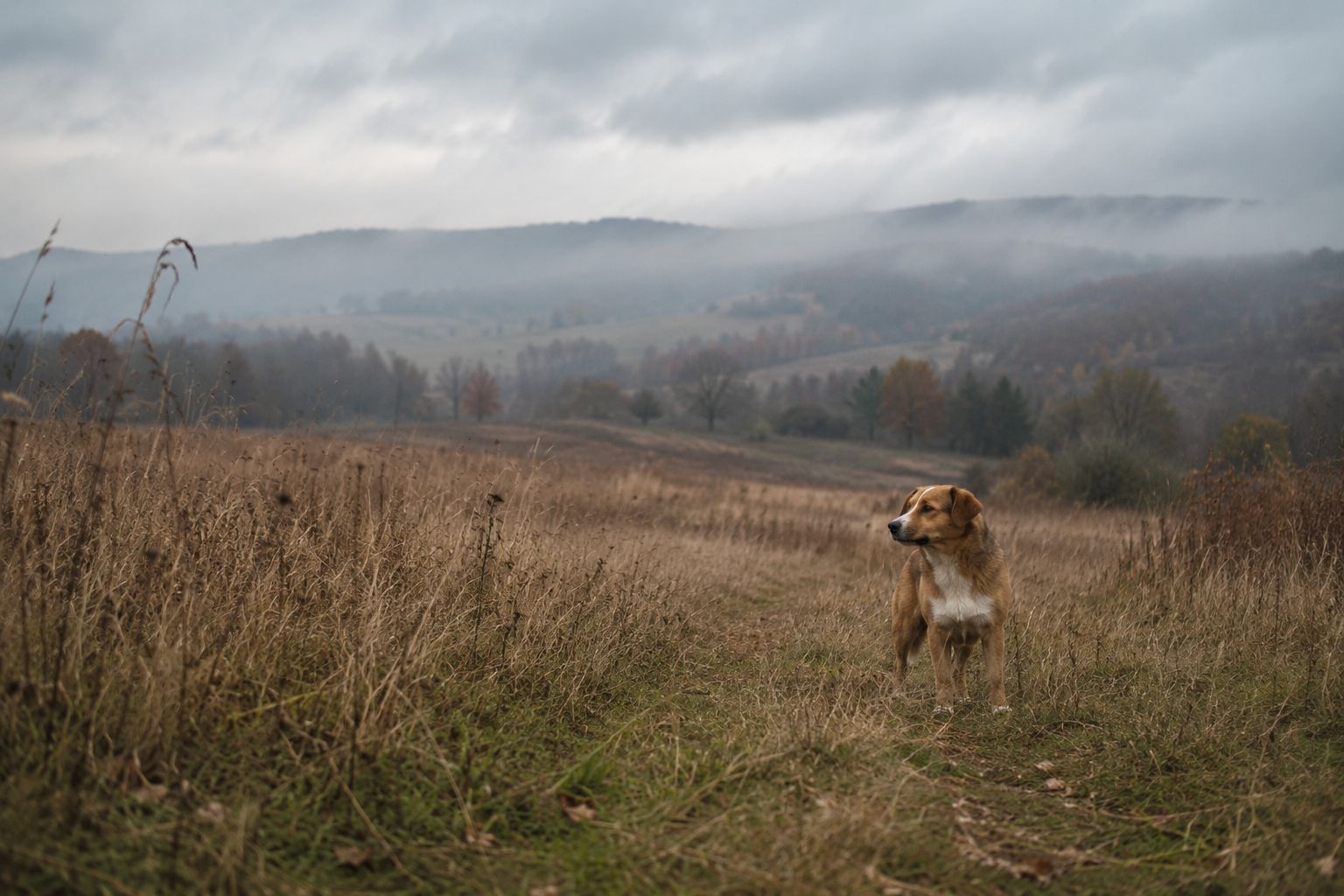
No ground scent
We believe in woodmanship first and in minimal disturbance second. Our high altitude surveys keep the herd stress free
Used carelessly, technology erodes fair chase and the discipline that makes hunting meaningful. We've watched it happen. Used the right way, the same tools document what was once invisible — how the herd uses your land across the seasons, and what that land needs to support it.
For generations we've taken habitat from these animals. A thermal survey, in the right hands, helps a landowner start giving some of it back. That's why we fly — not to find a trophy, but to understand the herd and the ground it depends on.
A tool, in the right hands
Why we fly
Lets talk about your land
Every survey starts with a conversation. Tell us a little about your property and what you'd like to learn, and we'll get back